
Latitude:
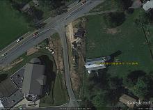
39.299569
Longitude:
-77.199199
Farm Name 1:
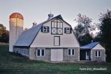
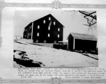
J. Leslie Woodfield Farm
Farm Name 2:
Mount. Radnor
Closest town:
Damascus
Street Address Number:
9608
Street Address Street Name:
Faith Lane
Street Address Town:
Damascus
Street Address Zip Code:
20872
Currently Operating:
No
Type of Business:
Former Dairy
Public Land:
No
Maryland Historical Trust Inventory Form:
Last Name:
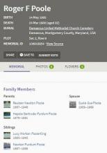
Poole
First Name:
Roger
Sold Date:
Wednesday, June 16, 1948
Cows Milked:
unknown
First Name:
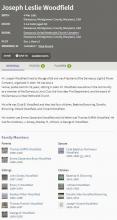
Joseph. Leslie
Last Name:
Woodfield
Purchase Date:
Monday, May 20, 1940
Sold Date:
Wednesday, June 16, 1948
Date of Operation:
Dairy was built in 1941
Cows Milked:
unknown
First Name:
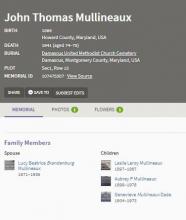
John Thomas
Last Name:
Mullineaux
Purchase Date:
Tuesday, November 10, 1908
Sold Date:
Friday, June 7, 1940
Cows Milked:
unknown
Farm ID Number:
253
Farm Size (Acres):
71
Closest Town:
Damascus
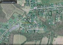

Farm Size (Acres) is from the 1956 Upper (Montgomery) County Land Use Map.